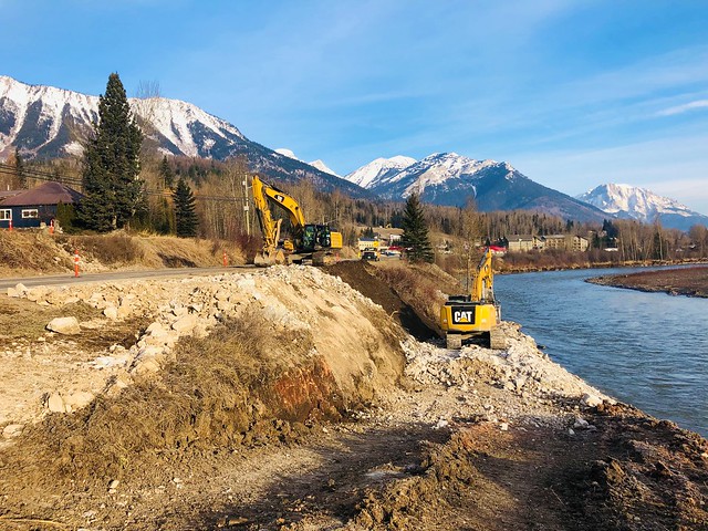
The record-breaking precipitation in BC and the Pacific Northwest causes major destruction to bridges, embankments, roads, and rail corridors. The BC Ministry of Transport and Infrastructure posted some photos today that are quite dramatic. See below for the embedded version. Thanks to Professor Jean Hutchinson for sharing the link.
Related Articles
Emergency Repair of Allegheny River Lock No. 6
Allegations: Oregon Not Forthcoming With Landslide Hazard Information
Folks in Oregon are angry about a recent landslide and debris flow that closed Highway 30 and destroyed property in the town of Woodson. (Here is a powerpoint presentation by Bill Burns of the Oregon Department of Geology and Mineral Industries showing how the event happened). Some rather stinging allegations are being made that politicians withdrew a landslide hazard map from general use in 2002 for political reasons. That map or another one had characterized the area effected by the December 2007 debris flow as a "very high" or "extreme" risk of landslides. A very interesting article.
ARkStorm: California’s other ‘Big One’
SACRAMENTO, Calif. — For emergency planning purposes, scientists unveiled a hypothetical California scenario that describes a storm that could produce up to 10 feet of rain, cause extensive flooding (in many cases overwhelming the state’s […]