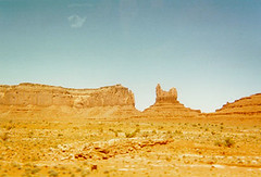
 I had a wild hair the other day. I was remembering back to my geology fieldcamp class I took one summer, thinking it had been around 10 years since I went…but I couldn’t remember exactly when. I picked up my old field notebook, and sure enough, it was 10 years ago June. That was a great time, and a class unlike any other.
It was pre-session at the U of A, the two weeks between the spring semester and the first summer school session. We packed up our camping gear and took off in a massive convoy of suburbans, passenger vans, cargo vans and even one Ryder truck with gear in it. We made our way to Northern Arizona with a few stops along the way.
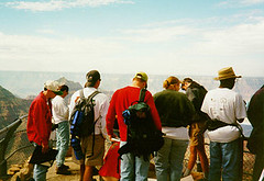 Our first night was spent at the North Rim of the Grand Canyon. The next day, I had the single most memorable lecture of my college career. Sitting there at one of the vista points at the North Rim, Peter DeCelles stood there with a flipchart and lectured about the stratigraphy of the Grand Canyon, and it formed the basis for the mapping we would be doing for the next two weeks in the so-called Colorado Plateau geologic province of Northern Arizona, Southern Utah and Western Colorado…God’s Country for certain.
View all of the photos in a Flickr slideshow.
We spent the most of our time based out of the Moab area of Utah. Actually we were just outside of Castle Valley, at the footslopes of the LaSal Mountains. We spent a lot of time in the car going to and from field sites, but I’ve forgotten most of those lousy memories in the last 10 years and I only remember the hard work, beautiful scenery and good company.
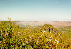 Our days consisted of geologic mapping at various locations. We would load up our pack in the morning, hike around a dozen miles, using our trusty rock hammer and brunton compass to measure bedding orientations and fault orientations and put them on our map. We got back to camp late in the afternoon, but our work wasn’t over. We had to clean up our maps and get them ready to hand in. Frequently we had to prepare cross-sectional sketches of the area with our interpretation of how the different rock layers were transformed by faulting, folding and erosion…God’s paintbrushes. When it got dark, the lanterns and flashlights came out and we kept working. Fortunately we didn’t have to cook, although we all took turns with KP duty helping the camp cook with prep work and with cleanup.
 In addition to our regular mapping assignments, we also had some independent mapping exercises that were kind of like exams. We wouldn’t be allowed to talk with any of our colleagues, and we had the day to map an entire area and turn in a completed (and correct) map and cross section. I wish I still had some of my maps, I don’t even remember what they looked like. But they kept everything because they didn’t want the next year’s students to get a hold of them. I do still have my field notebook of course with a few sketches, notes, and strike and dip measurements.
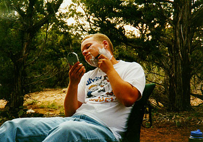
It was incredibly hard work but I was amazed that my body actually got used to all of the hiking. Being out in the field in that beautiful country reminded me of why I picked geological engineering as a major in the first place. I still get energized by my time in the field, at least on the more interesting projects. I can’t say that I have spent any time creating a geologic map, but I have used those skills for scanline surveys and cell mapping among other things. And we have had projects with some limited mapping components. But it did teach me how to think in three dimensions, how to take in a site while you’re standing out there in the field, and how to shave using my Brunton!


